January 31, 2011
Keep Australia in your prayers the next few days
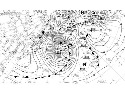
Back on the 18th of this month (January), this is what was happening out in the mid-pacific ocean:
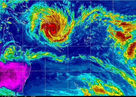
Cyclone Yasi may hit Cairns: forecastersCurrent sat image:
Severe tropical cyclone Yasi is on track for a direct hit on Cairns, forecasters say.
But with the cyclone not expected to make landfall until about 1am (AEST) on Thursday, that could still change.
Bureau of Meteorology senior forecaster Ann Farrell said the latest modelling showed a direct hit on Cairns was one of the more likely scenarios.
The latest tracking map, issued at 2pm (AEST), marks out the range of possible landfall sites, from as far north as Cooktown to as far south as Townsville.
It features a central track which Ms Farrell said was "one of the more likely tracks" - a line taking Yasi directly into Cairns.

Comments
Post a comment