September 2, 2005
Images of Katrina
NOAA has been flying a Cessna Citation aircraft at 7,500 feet over New Orleans. This plane is outfitted with a very nice Digital Imaging System and has been recording the devastation. The main site is here with 250 images organized by geographical area. Please note that each area represents a 60-100MB downloaded ZIP file containing multiple images. Not something to do on dial-up... A synopsis page with some thumbnails is here. Here is one of them -- I reduced the resolution as well as bumping the contrast and brightness. Get the original from the link above.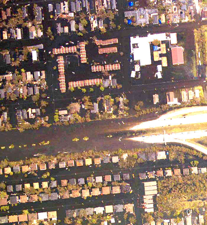
Click for full-size Image
Comments
Post a comment